

Overview
Trilha de Naufragados is a moderate 2.8 km hiking trail leading to the southernmost point of Florianópolis. The route starts in Caieira da Barra do Sul and begins with a steep climb under the dense canopy of the Atlantic Forest. Upon reaching the wild beach, you can explore the active 1861 lighthouse and the historic ruins of the Nossa Senhora da Conceição de Araçatuba fortress with its giant iron cannons. A popular highlight is returning by taking a motorized fisherman boat taxi back to the trailhead for a small fee.
Trail Highlights
Caieira da Barra do Sul Parking
Paid parking lots (15-20 R$ for the day) at the end of the road near the trailhead.
Start Point (Trailhead)
Entrance to the forest track. The first 15 minutes present the steepest climb of the trail.
Historic 1861 Lighthouse
Perched on the rocky headland at the right end of the beach. Offers sweeping sea channel views.
Araçatuba Fort Ruins
Historical military outpost ruins with massive iron cannons overlooking the channel.
Get Trail Guide via Email
Enter your email to receive the detailed trail guide, GPX file, offline map layer, and insider tips.
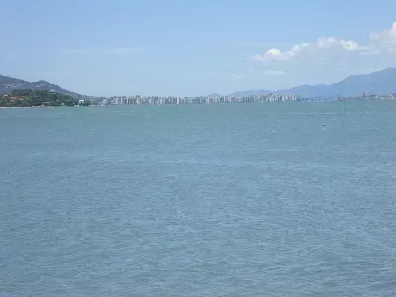
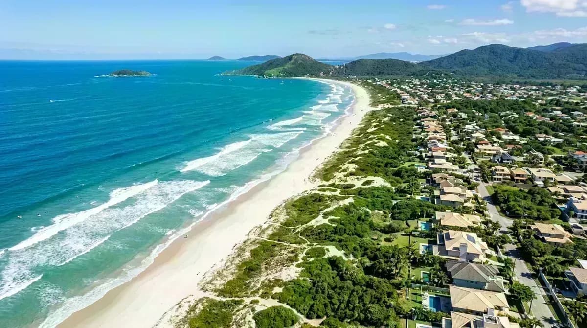
📸 Real Trail Photos
← прокручивайте →



💬 Multi-Source Traveler Reviews
"Great forest trek! The first hill is quite steep, but the dense tree cover blocks the hot sun. The beach is wild, beautiful, and has massive surf. Returning via a fisherman boat taxi for 25 Reais is a total lifesaver!"
"The lighthouse and the cannons are extremely photogenic historical spots. Make sure to walk all the way to the right side of the beach. We had fresh fish in one of the rustic kiosks. Note: bring cash Reais!"
"One of the best trails on the island for wild nature lovers. The forest trail is lively, with lots of birds. The beach itself is stunning, but waves can be dangerous. Boats run frequently on weekends."
"Moderate hike if you are in decent shape. Wear good sneakers as there are many tree roots and stones. Mobile signal is poor, so download offline maps before setting off. Boat taxi back is highly recommended!"
Interactive Trail Elevation Profile
График высотности и ключевые отметки от Caieira da Barra do Sul до пляжа Naufragados
