

Overview
Lagoinha do Leste is the absolute crown jewel of hiking on Florianópolis Island. Completely isolated from the road network, this untouched sandy beach is accessible only by two hiking trails: a short and steep uphill trail from Pântano do Sul (1.5 hours of intense climbing) or a longer, spectacularly scenic coastal trail starting from Matadeiro beach (3 hours traversing clifftops with panoramic ocean views). Once at the beach, you can swim in the warm freshwater lagoon, climb to the famous rocky outcrop at Morro do Coroa, and take a fisherman boat back.
Trail Highlights
Start Point: Pântano do Sul
Short, direct, and very steep dirt trail. Demands good stamina and proper footwear.
Start Point: Matadeiro Beach
Longer coastal path. Breathtaking views of the ocean, forest canopies, and hidden cliffs.
Morro do Coroa Peak
Very steep rocky scramble from the beach to the summit, home to the iconic postcard rock ledge.
Freshwater Lagoon
A calm freshwater lake situated right at the edge of the wild beach, perfect for relaxing.
Get Trail Guide via Email
Enter your email to receive the detailed trail guide, GPX file, offline map layer, and insider tips.
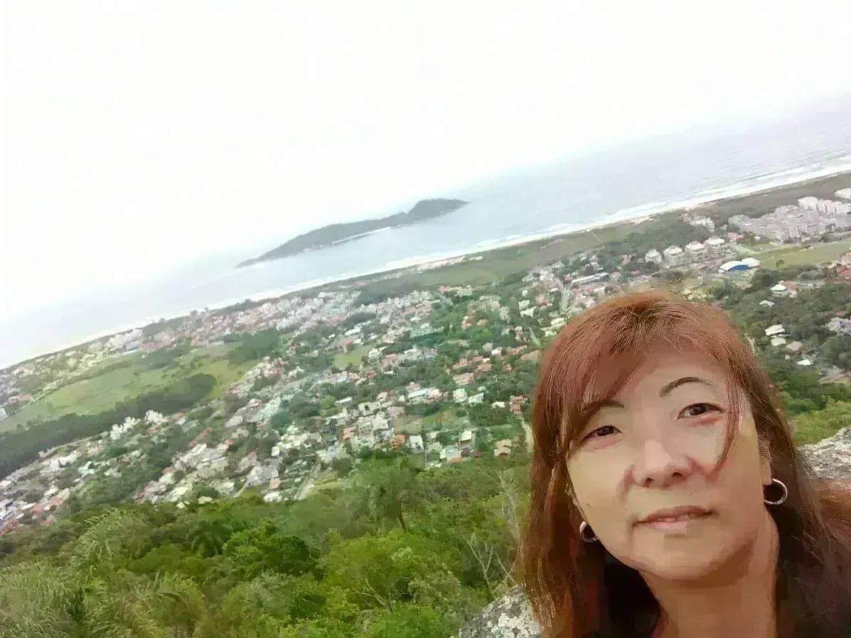
📸 Real Trail Photos
← прокручивайте →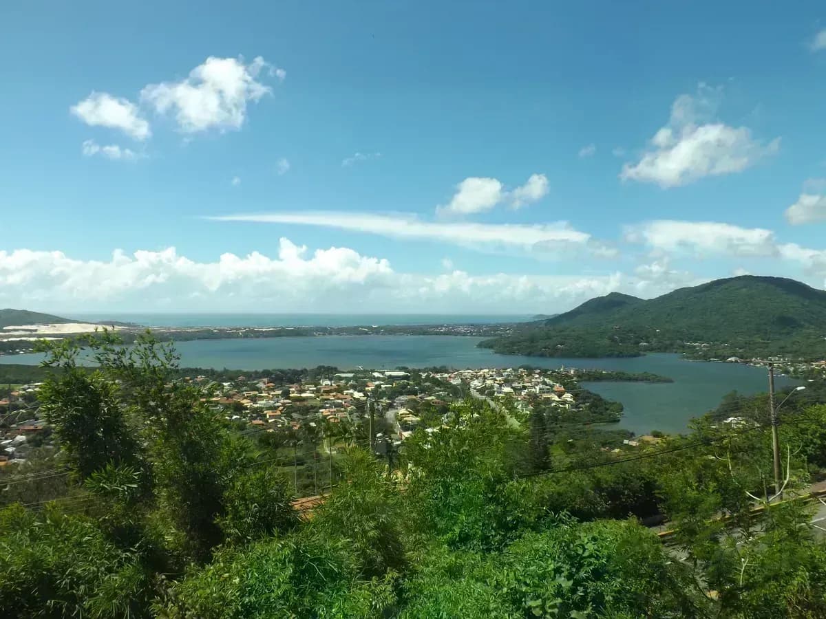
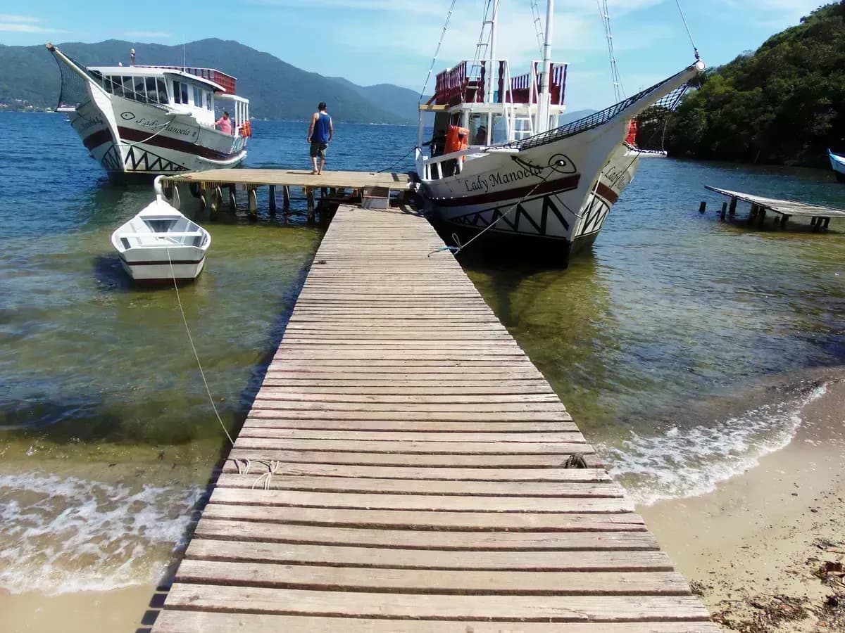
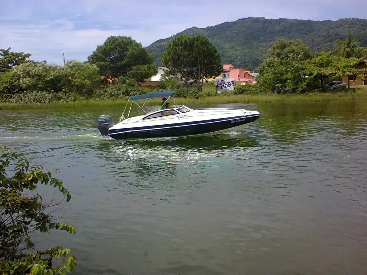

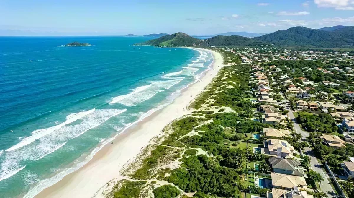
💬 Multi-Source Traveler Reviews
"The absolute best hike on the island! The climb to Pico da Coroa is steep and physically demanding, but the view is out of this world. Make sure to choose a dry, non-windy day—rocks get extremely slippery when wet."
"A magical spot where a freshwater lagoon meets the open sea. We walked up from Pântano and took a fisherman boat back to the harbor for 30 R$. The boats operate regularly during weekends and summer season!"
"Breathtaking views. The rocky scramble to Pico da Coroa is challenging but completely worth it. The Matadeiro trail takes longer but is much more scenic. Wear solid hiking shoes."
"Incredible but exhausting hike. The trail from Pantano do Sul is straight up and dusty, while the climb to Coroa peak is almost vertical rock scrambling. Pack plenty of water and snacks—there are no stores on the wild beach."
Interactive Trail Elevation Profile
График высотности и ключевые отметки от Pântano do Sul до пляжа Lagoinha do Leste и вершины Coroa
